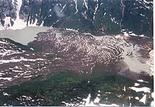
The Volcano (British Columbia)
Mountain in British Columbia, CanadaThe Volcano, also known as Lava Fork volcano, is a small cinder cone in the Boundary Ranges of the Coast Mountains in northwestern British Columbia, Canada. It is located approximately 60 kilometres northwest of the small community of Stewart near the head of Lava Fork. With an elevation of 1,656 metres and a topographic prominence of 311 m (1,020 ft), it rises above the surrounding rugged landscape on a remote mountain ridge that represents the northern flank of a glaciated U-shaped valley.
Read article
Top Questions
AI generatedMore questions


